


Trail_Tracker app for iPhone and iPad
Developer: RBWater Inc.
First release : 19 Apr 2015
App size: 17.6 Mb
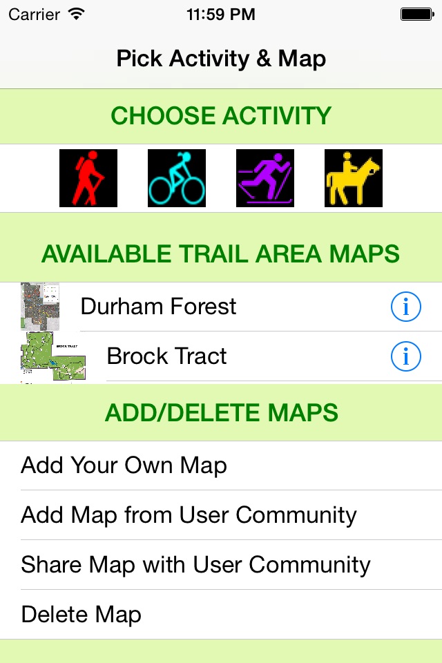
With TrailTracker you can upload local trail maps to your iPhone and track yourself in real-time as you hike, bike, ski, etc. along the trails. TrailTracker is designed for use where other mapping/navigation apps just show a green area but no details of the local trails (particularly where theres heavy tree cover). It is especially helpfull for finding your way on unmarked trails in forested areas (your phone must be able to pick up a location signal for the tracking to work).
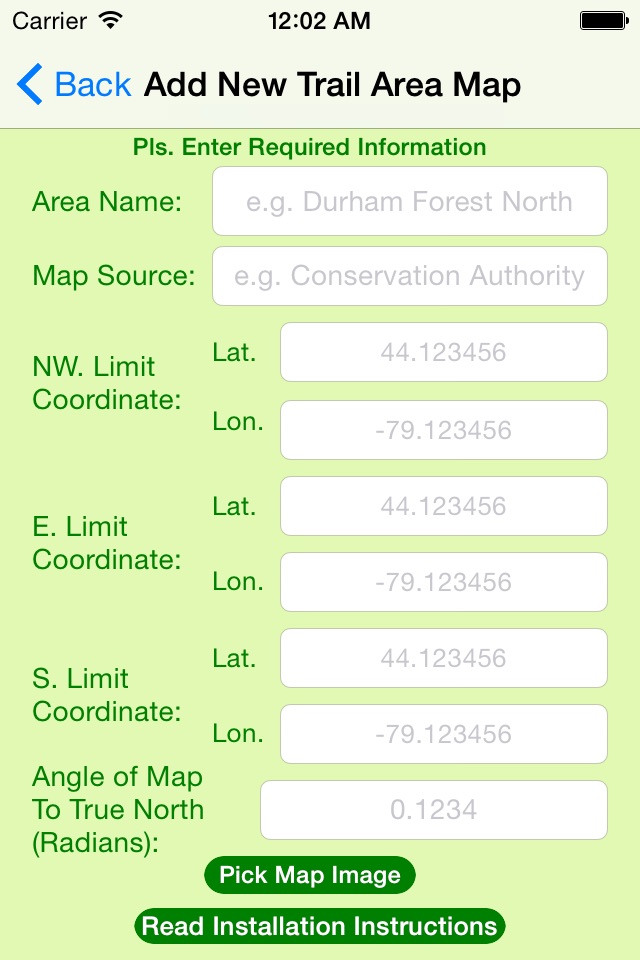
To add your own maps you need a jpg image of the trail area and the longitude and latitude of three identifiable points at the NW corner, E. boundary and S. boundary of the map. If the map is not oriented exactly to True North you also need the offset angle. You enter the data and upload the image using the Add New Trail Area Map screen.
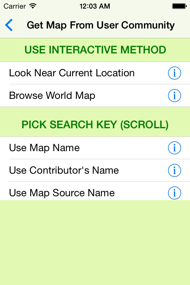
You can also install maps from the TrailTracker Community library. There are seven ways of searching for maps in the database. You can select a search area centre by address, by current location, by lat/lon coordinates and interactively on a world map. You then specify a search radius of up to 100 km. If you know the map name, its source or who contributed it to the library you can use those as search keys as well.
You are encouraged to share your maps with the TrailTracker Community by adding them to the library. You can add comments about what users can expect to see or what activities they can do there. You can modify or delete any maps you contribute whenever you wish. Similarly, you can add and delete maps to your iPhone as often as you wish.
TrailTracker comes with one map pre-installed as a demo to show you how it works so go ahead add some maps in your area or install some from other places and get out and enjoy the trails.